Size of this preview: 767 × 600 pixels. Other resolutions: 307 × 240 pixels | 614 × 480 pixels | 982 × 768 pixels | 1,280 × 1,001 pixels | 2,560 × 2,002 pixels | 4,572 × 3,576 pixels.
Original file (4,572 × 3,576 pixels, file size: 1.65 MB, MIME type: image/png)
| This is a file from the Wikimedia Commons. Information from its description page there is shown below. Commons is a freely licensed media file repository. You can help. |
Summary
| Description |
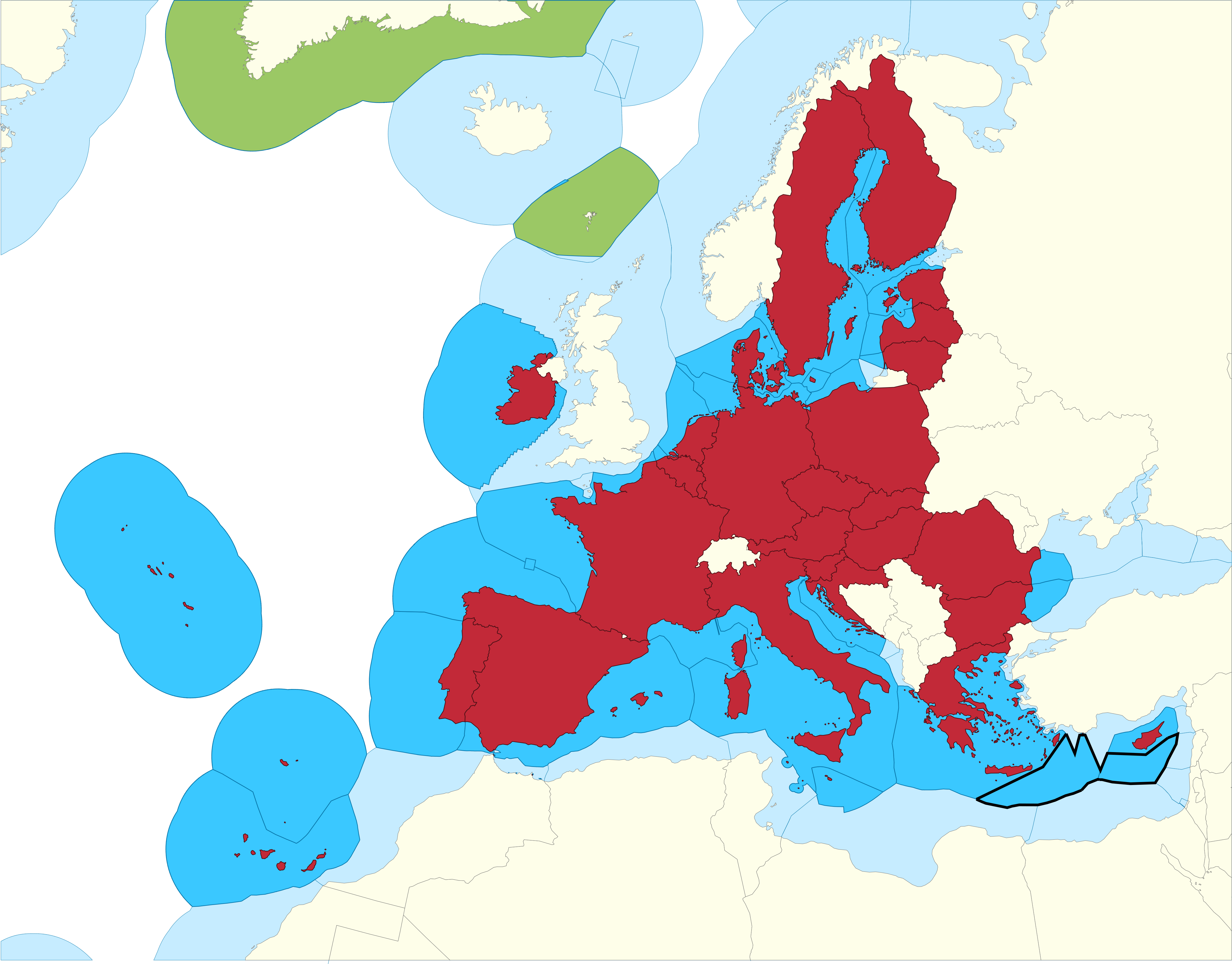
English: European Union Member states Exclusive Economic Zones |
|||
| Date | ||||
| Source |
EU member states Exclusive Economic Zones
EU member states overseas territories Exclusive Economic Zones
EU member states
Disputed Exclusive Economic Zones |
|||
| Author | Sette-quattro, replacing the previous work done by Luis_wiki | |||
| Permission (Reusing this file) |
Own work | |||
| Other versions |
|


Licensing
| I, the copyright holder of this work, release this work into the public domain. This applies worldwide. In some countries this may not be legally possible; if so: I grant anyone the right to use this work for any purpose, without any conditions, unless such conditions are required by law. |


