Original file (1,450 × 1,807 pixels, file size: 1.55 MB, MIME type: image/png)
| This is a file from the Wikimedia Commons. Information from its description page there is shown below. Commons is a freely licensed media file repository. You can help. |
| Description |
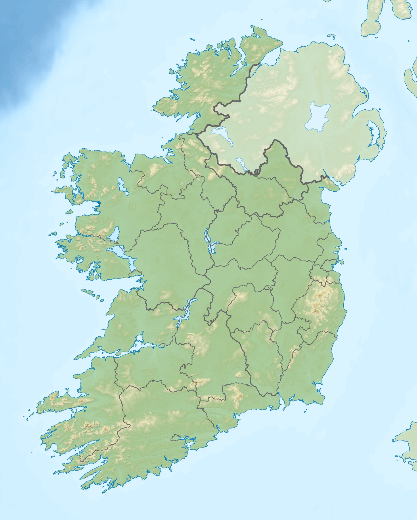
Relief location map of Ireland Equirectangular map projection on WGS 84 datum, with N/S stretched 170% Geographic limits:
|
| Date | |
| Source |
Shuttle Radar Topography Mission
National Geospatial-Intelligence Agency
File:Ireland location map.svg: NordNordWest
|
| Author | Nilfanion |
| Permission (Reusing this file) |
This file is licensed under the Creative Commons Attribution-Share Alike 3.0 Unported license.
|
| Other versions |
Click on a date/time to view the file as it appeared at that time.
| Date/Time | Thumbnail | Dimensions | User | Comment | |
|---|---|---|---|---|---|
| current | 08:32, 24 August 2020 | | 1,450 × 1,807 (1.55 MB) | Jacobfrid | Reverted to version as of 12:29, 12 September 2014 (UTC) |
| 12:17, 23 August 2020 |  | 324 × 280 (90 KB) | Jacobfrid | Cropped 78 % horizontally, 85 % vertically using CropTool with precise mode. | |
| 12:29, 12 September 2014 |  | 1,450 × 1,807 (1.55 MB) | NordNordWest | Local Government Reform Act 2014 | |
| 00:02, 23 October 2012 |  | 1,450 × 1,807 (1.56 MB) | Nilfanion | Fix UK shading nr Londonderry | |
| 22:43, 15 April 2012 |  | 1,450 × 1,807 (1.56 MB) | Nilfanion | ((Information |Description=Relief map of Ireland Equirectangular map projection on WGS 84 datum, with N/S stretched 170% Geographic limits: *West: 11.0° W *East: 5.0° W *North: 55.6° N *South: 51.2° N |Source= [[w:Shuttle Radar Topo... |
More than 100 pages use this file. The following list shows the first 100 pages that use this file only. A full list is available.
View more links to this file.
The following other wikis use this file:
View more global usage of this file.
.png)
