No higher resolution available.
Map_-_NL_-_Breda_-_Princenhage.PNG (353 × 342 pixels, file size: 22 KB, MIME type: image/png)
| This is a file from the Wikimedia Commons. Information from its description page there is shown below. Commons is a freely licensed media file repository. You can help. |
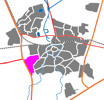
| Description | Locator maps for districts in Breda : Map - NL - Breda - Princenhage.PNG | |||
| Source | based on cbs-map | |||
| Author |
|
