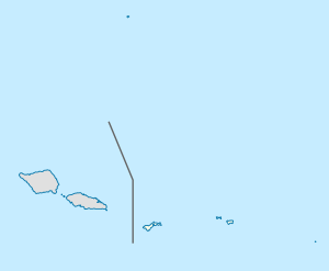
Village in American Samoa, United States
Tula is a village in the Eastern District of Tutuila Island in American Samoa. Tula is located in Vaifanua County and had a population of 405 as of the 2010 U.S. Census.[1]
Tula is located on Cape Matātula. It is the site of the former upland ridge settlement of Lefutu (AS-21-002).[2]
Geography
Tula is the easternmost village on Tutuila Island,[3][4] and is situated on the rugged northeast cape of Matātula.[5] It is home to wide, white sand beaches and a prehistoric quarry. The Samoa Observatory, established in 1974 by National Oceanic and Atmospheric Administration (NOAA), sits on Cape Matātula just outside the village of Tula.[6] NASA's Advanced Global Atmospheric Gases Experiment (AGAGE) measures more than 40 trace gases involved in stratospheric ozone depletion, climate change, and air quality at the observatory.[7]
Cape Matā'ula and the nearby village of Onenoa feature small plantations, high cliffs, and forested slopes.[8]
History
Tula was one of the first settlements on Tutuila, having been settled by 600 BCE.[10][11] Numerous ancient artifacts have been discovered at the prehistoric quarry near the town.[12]
