Denne fila er frå Wikimedia Commons og kan verta nytta av andre prosjekt.
Skildringa frå filskildringssida der er vist nedanfor.
Følgjande er henta frå filomtalen åt denne fila på Wikimedia Commons:
This image was uploaded in the JPEG format even though it consists of non-photographic data. This information could be stored more efficiently or accurately in the PNG or SVG format. If possible, please upload a PNG or SVG version of this image without compression artifacts, derived from a non-JPEG source (or with existing artifacts removed). After doing so, please tag the JPEG version with ((Superseded|NewImage.ext)) and remove this tag. This tag should not be applied to photographs or scans. If this image is a diagram or other image suitable for vectorisation, please tag this image with ((Convert to SVG)) instead of ((BadJPEG)). If not suitable for vectorisation, use ((Convert to PNG)). For more information, see ((BadJPEG)).
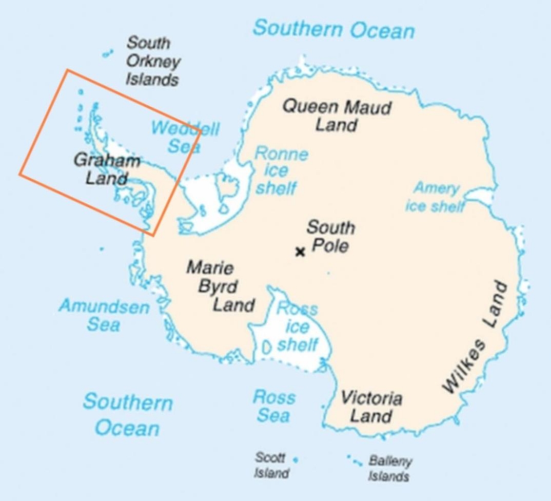
This is a retouched picture, which means that it has been digitally altered from its original version. Modifications: Added frame indicating location of Antarctic Peninsula. The original can be viewed here: Map-antarctica-ross-ice-shelf-red-x.png: . Modifications made by Anna Frodesiak.
2009-02-16T17:22:04Z Jeandré du Toit 316x313 (26247 Bytes) ((Information |Description=*Map of Antarctica with a red X on the Ross ice shelf. |Source=*[[:File:Antarctica_Map.png|]] |Date=2009-02-16 17:20 (UTC) |Author=*[[:File:Antarctica_Map.png|]] *derivative work: ~~~ |Permission=se


