-
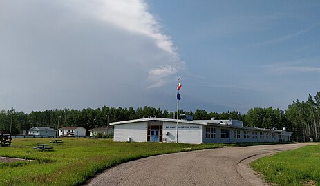 Dr. Mary Jackson School, Keg River
 -
 Sagitawa Lookout, Peace River
 -
 Goodlow post office
 -
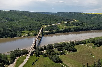 Dunvegan Bridge
Hi, I'm Alex McPhee! I live in Val Marie, am the proud holder of a University of Alberta BSc, and am a professional cartographer (seriously, this is a real job that exists).
On-wiki, I specialize in Canadian graphics and geography. Check out my other work at awmcphee.ca.
|


