This article needs additional citations for verification. Please help improve this article by adding citations to reliable sources. Unsourced material may be challenged and removed.Find sources: "Jalpaiguri division" – news · newspapers · books · scholar · JSTOR (July 2013) (Learn how and when to remove this message)
Jalpaiguri | |
|---|---|
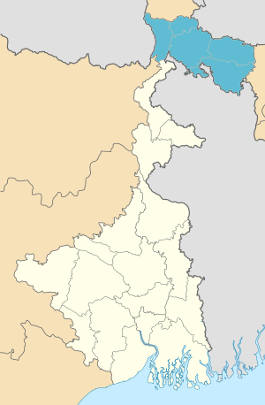
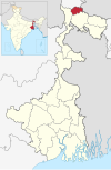
 Location of Jalpaiguri in West Bengal | |
 Interactive Map Outlining Jalpaiguri | |
| Country | |
| State | |
| Established | 1947 |
| Capital | Jalpaiguri |
| Districts | Alipurduar, Cooch Behar, Darjeeling, Jalpaiguri, Kalimpong |
| Area | |
| • Total | 18,200 km2 (7,000 sq mi) |
| Population (2011) | |
| • Total | 8,538,755 |
| • Density | 470/km2 (1,200/sq mi) |
Jalpaiguri Division is one of the 5 divisions in the Indian state of West Bengal. It is the northernmost division of West Bengal. It is surrounded by Nepal on the western side, Bihar on South-Western side, Bhutan on the Northern side and Bangladesh on the southern side.[1]


